Twin Sisters Overnighter
A break in the weather and work allowed for a quick trip through the Hammersley Wild Area. While I had seen parts of this loop that covers the Susquehannock Trail System (STS) I covered some new ground as well.
The STS is known as a trail system because rather than being one dedicated loop it is in fact dozens of trails stitched together to make a loop covering roughly eighty four miles. This leaves lots of opportunities for interesting smaller trips using to STS to link to a number of other trails in varying states of maintenance. This trip used the STS section that links the Hammersley, Elkhorn and Twin Sisters trails and closed the loop with some bushwhacking and the rest of the Twin Sisters Trail. I hope to cover all of the STS this summer through trips like this.
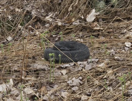
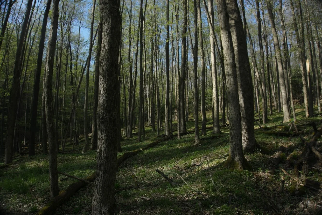
This trip begins with a long grind up to the ridge from Cross Fork, which is incidentally the lowest point on the STS. After getting to the top the STS branches left and heads down the Elkhorn Trail and into Elkhorn Hollow. Here I stayed straight on the Twin Sisters Trail which follows the ridge line for miles. The trail wandered along the ridge through gorgeous upland hardwoods. Along the way I saw numerous wildflowers and a big Timber Rattlesnake.
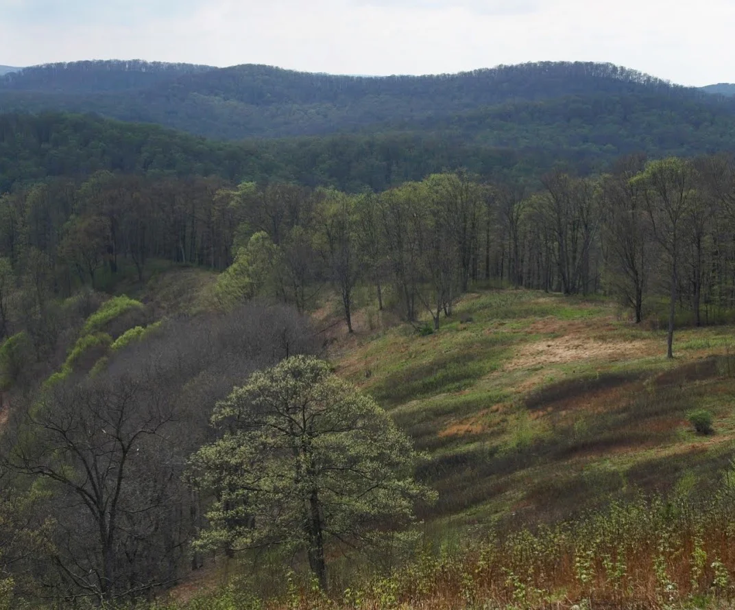
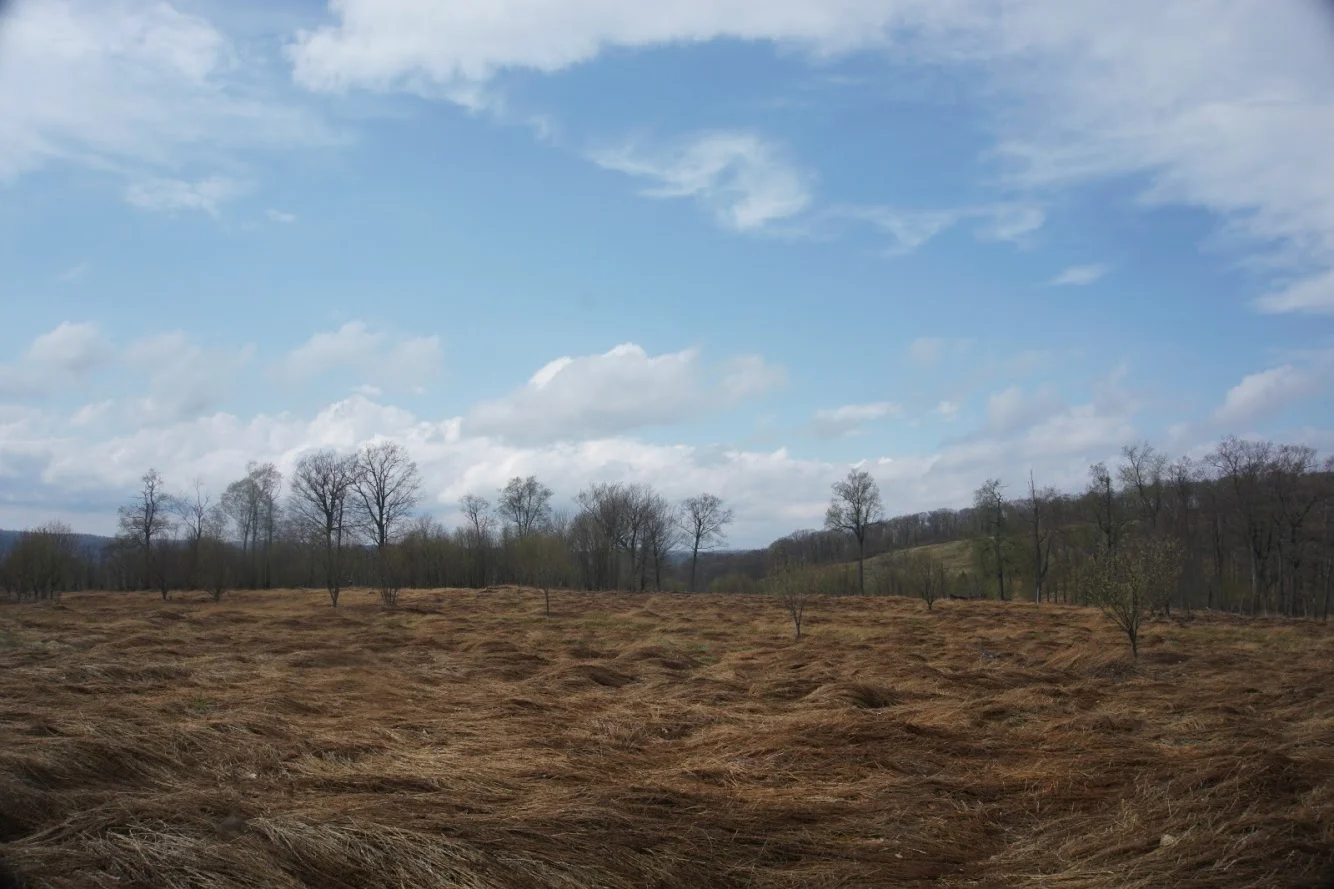
The highlight of the Twin Sisters Trail are the open meadows created by a forest fire in 1964. Even after fifty plus years trees have not returned to most of the area, instead it is dense with grasses and ferns. This offers a rare open vista of the Hammersley Wild Area.

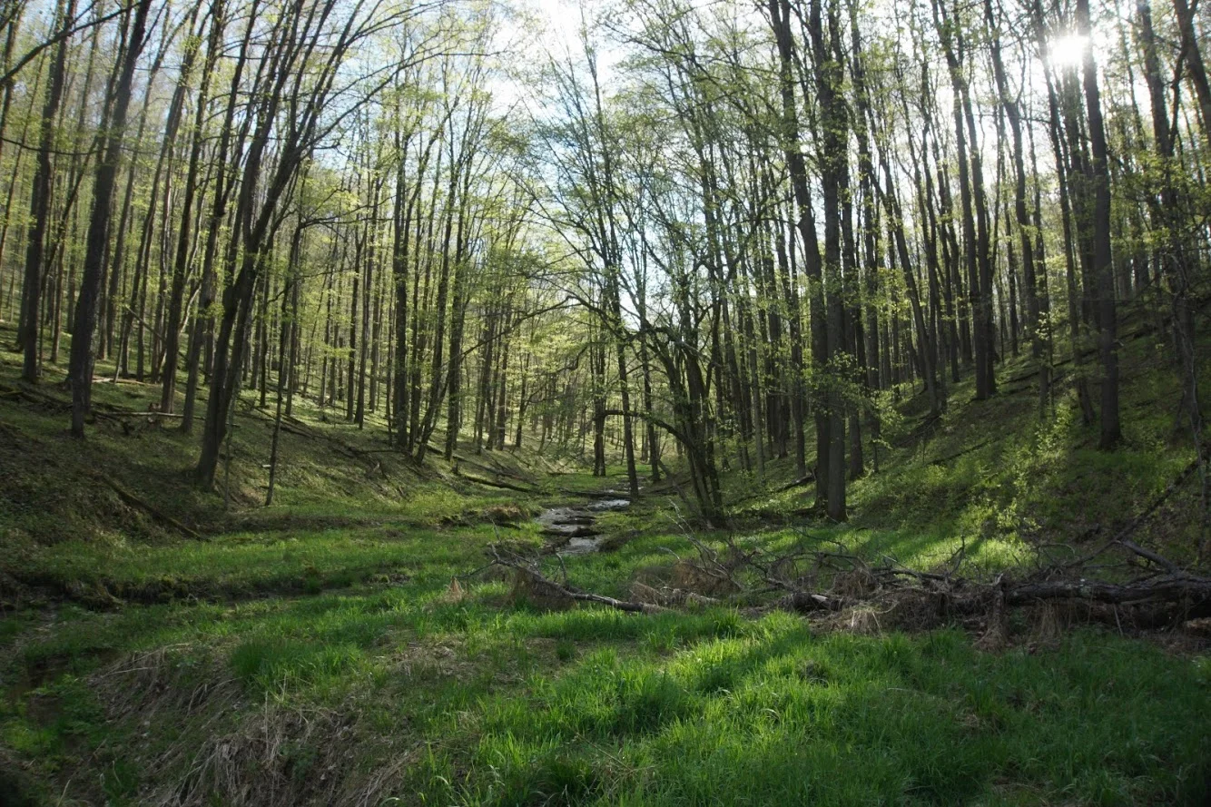
After lingering around here for awhile I moved along and began my vigil for the trail I would take me off the ridge. A fact of life in these woods is that trails are often no more than suggested paths of least resistance, and are not cleared and blazed. If you’re lucky you pick up an old road bed, many of which remain from the last logging boom. During this time trains reached into nearly every hollow in this area and the faint remains of their paths now make great trails for foot travel. As I progressed along the ridge I noticed some faint trails going east but none to the west. Eventually I reached a small flat between two high points and decided (with the help of my GPS) that this was the point where I should begin descending to the Hammersley. Almost immediately I found a gully that fed into a larger stream valley. It was so green in this valley that it almost seemed fluorescent in the soft evening light.
Eventually I crossed another hollow and began to see a larger valley opening ahead of me. It was also notable for the presence of wild apple trees and multiflora rose thickets. This is a ln indication of the Hammersley valleys history, here at the point where Black Mark Hollow and the Hammersley stream join once stood a small village. Here was where a main trunk of railroad ended and smaller gauge tracks forked out from that line following the small streams up into individual hollows. This ingenuity allowed the Goodyear and other logging operations to almost entirely deforest this part Pennsylvania, a sad but all to common story for the woods of the eastern United States.
The bushwhacking got much slower here until I eventually rejoined the STS on the Hammersley trail, now it was a quick step down the valley to find camp for the night. Finding a campsite that is just right can often be a tough affair if you choose to be picky. Beacause of this I continued farther than planned and found a site with its own small waterfall. It was certainly worth the extra time to get there.

Here I settled into a quiet night joined by barred owls and a local woodcock who was going through his nightly dance as I ate.
The next morning after a slow start I set out to close the loop. Along the way I enjoyed a nice break next to “The Pool” a quiet swimming hole along Hammersley. I then followed the Elkhorn Trail back up to the ridge and trail junction I passed the day before.

This was a perfect overnight loop and leaves me with roughly 73 miles of the STS to complete.